Geoarchaeology program

The environment we live in is constantly evolving.

Landscapes we observe today looked different as we journey back in time. We may wonder why did past groups of people choose certain places to live, what did the land look like back then, and what impact did people have on the land and natural resources? The study of geoarchaeology helps us piece together the answers to these questions and more.

UW-La Crosse offers a minor in geoarchaeology, providing students with a multidisciplinary lens to study past environments based on evidence that remains in today’s landscape.

Undergrad minor

A program within the Department of Geography & Environmental Science

Careers in geoarchaeology

When accompanied by a major in archaeology or geography and earth science, graduates may find positions in the following.

Positions

  • Cultural resource management
  • Field archaeologist
  • Cultural resource specialist
  • GIS technician
  • Resource mapper
  • Soil scientist
  • Environmental planner

What distinguishes UWL's geoarchaeology program?

Interdisciplinary

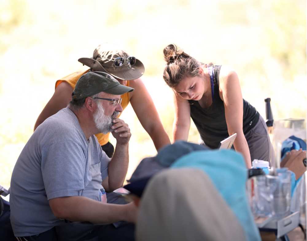
Classes in the minor include a broad selection of courses from different UWL colleges in areas of geography and archaeology giving students a more holistic view as they approach future careers.

Access to high-tech tools

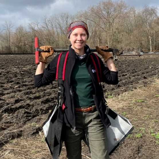
Students will have access to field mapping technology, geophysical equipment, soil sampling and analysis tools, lab spaces and more.

Tailor the minor to match your interests

Aside from four key foundational courses, students in the minor can choose from a wide variety of elective courses to fulfill the minor requirements.

Hands-on experience

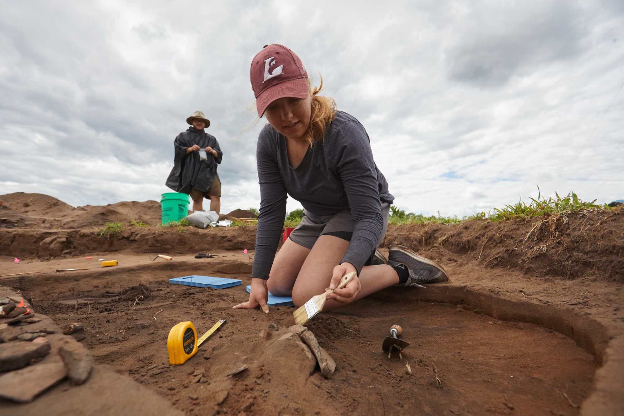
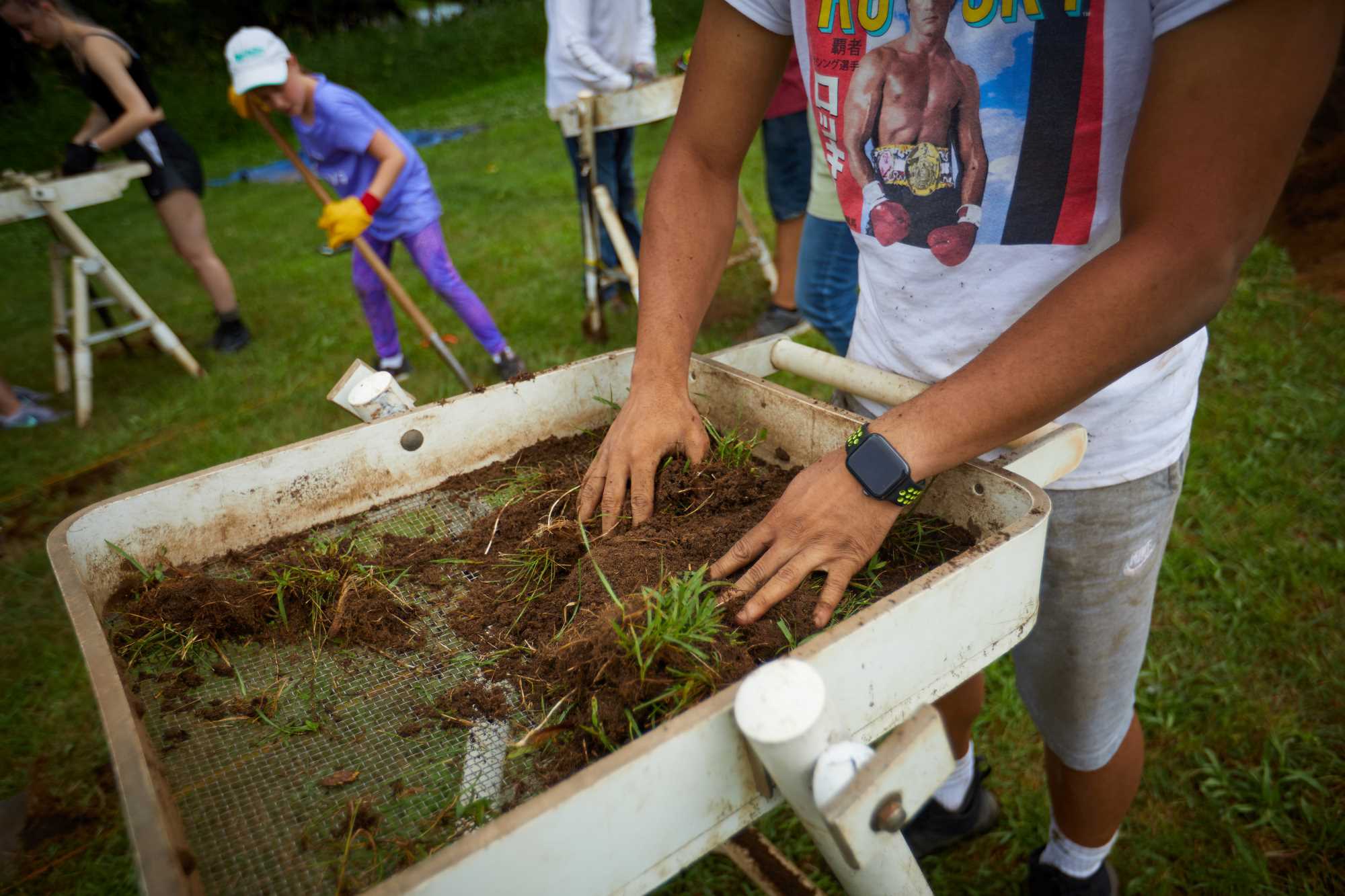
Many of the courses involve lab components and field experiences. Several hands-on courses offer students experiences with mapping equipment whether flying drones and developing 3D models or using ground penetrating radar to interpret various layers of soil.

Explore local landscapes

UWL’s campus is located within a mile of towering sandstone bluffs, a 900-acre urban wetland, and the Mississippi River, all accessible through miles of hiking and biking trails. Students regularly explore the La Crosse area’s urban and natural landscape through coursework, field trips and research projects.

Sample courses

ARC 196 Archaeology: An Introduction to Lab and Field Methods This course is a laboratory and field learning component to the course ARC 100. The course provides important hands-on learning opportunities for archaeology majors to further introduce and reinforce topics introduced in ARC 100. Lab sessions provide foundational knowledge in the processing and analysis of archaeological finds and field records. Field excavation sessions provide students basic training in the methods and techniques for the recovery and interpretation of archaeological evidence from archaeological sites. Prerequisite: archaeology majors take concurrently with ARC 100. Offered Fall.

ARC 402 Field Methods in Archaeology Practical application of the basic skills used in the excavation of archaeological sites, including surveying techniques, methods of excavation, compilation of field data, and laboratory analysis. Prerequisite: ARC 196. Consent of instructor. Offered Summer.

GEO 428 Past Environmental Change An overview of the study of environmental change during the Quaternary. Approaches used to understand past climatic conditions and effects on terrestrial and marine ecosystems at global, regional and local scales will be explored, as will physical, geochemical and biological methods associated with continuous and depositional environments. This course is taught largely at an undergraduate level. Graduate students will have additional course requirements/expectations. Prerequisite: GEO 221 and GEO 222; junior standing. Offered Alternate Years.

GEO 410 Geospatial Field Methods This course covers fundamental concepts of geospatial data collection, analysis, and representation. Students gain hands-on experience using geospatial technology at field sites in the La Crosse area. It includes reconnaissance and surveys using current methods, including GPS, total stations, sonar, and unmanned aerial systems; and practical integration of field data into a geographic information system. This course is taught largely at an undergraduate level. Graduate students will have additional course requirements/expectations. Lect. 2, Lab 2. Prerequisite: GEO 305; junior standing. Offered Fall.

GEO 222 Earth Surface Processes and Landforms An introduction to the earth surface processes that are dominant in forming various types of landforms. Spatial variations in landforms are studied both at the local scale and as the outcome of large-scale global processes. Lect. 3, Lab 2. Prerequisite: GEO 101. Offered Spring.